Course Details
Introduction to GIS in Local Government
No upcoming dates available for this course at the moment. Please check back soon.
The Municipal Infrastructure Support Agent (MISA) in partnership with SAICE Professional Development & Projects (SAICE-PDP), invites you to attend this 2 day course to achieve simplified essential workflows data management in ArcGIS.
This course is designed to empower everyone from staff to managers to use maps, data and tools, including Data Conversion, Analysis to Sharing from the whole ArcGIS ecosystem.
This course will address the need of understanding how the components of GIS work together to solve organizational problems and facilitate better decision making.
In addition, the course will provide Local Government personnel with the skills needed to plan, capture, coordinate and monitor field activities using the ArcGIS suite of field apps.The course is taught using ArcGIS Pro and ArcGIS Online.
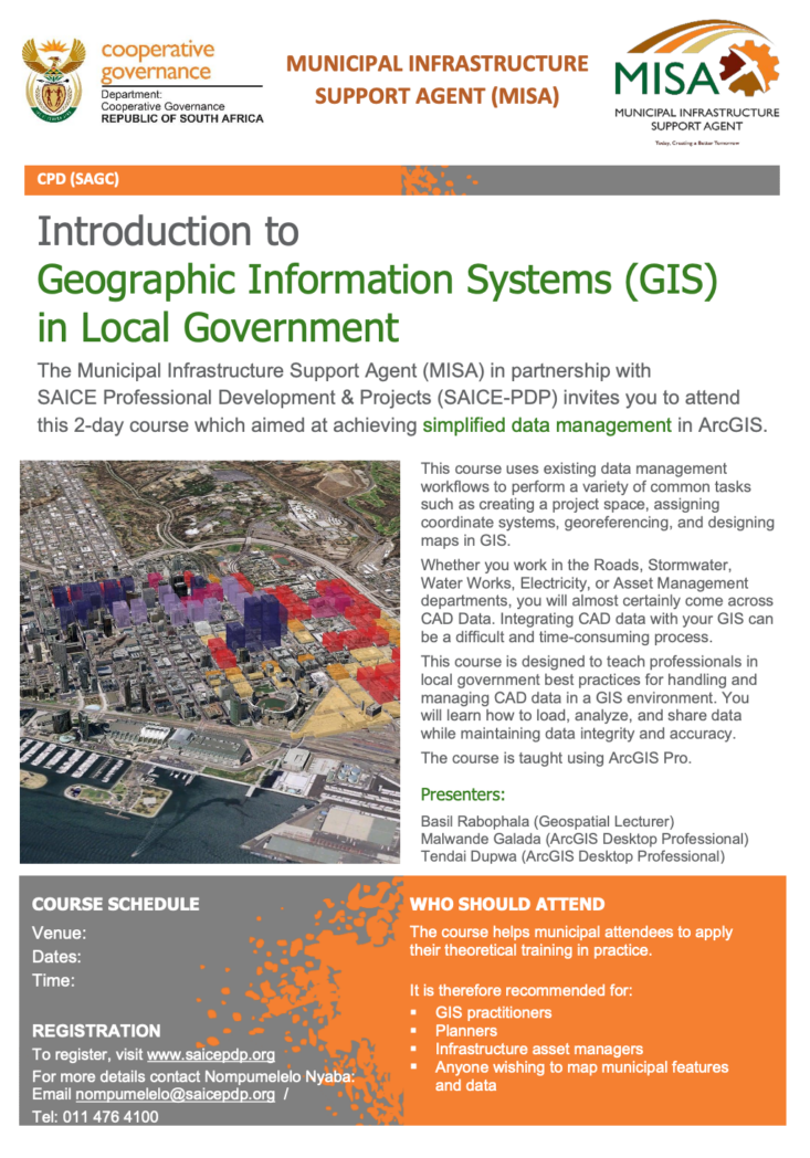
This course helps municipal attendees to apply their theoretical training in practice.
It is recommended for:
- Planners
- GIS practitioners
- Infrastructure asset managers
- Anyone wishing to map municipal features and data
CPD
- This course is accredited for CPD through the South African Geomatics Council (SAGC)
Our Facilitators
Basil Rabophala
Geospatial Lecturer
Malwande Galada
Geospatial Lecturer
Tendai Dupwa
Geospatial Lecturer
THE PARTNERS
This course is presented in collaboration with Esri South Africa – proud suppliers of the world’s most powerful mapping and analytics software SAGI – South African Geomatics Institute ꟾ SAGC – South African Geomatics Council ꟾ GISSA – Geo-Information Society of South Africa.